New SNCA project aims to map lost portions of trail
-
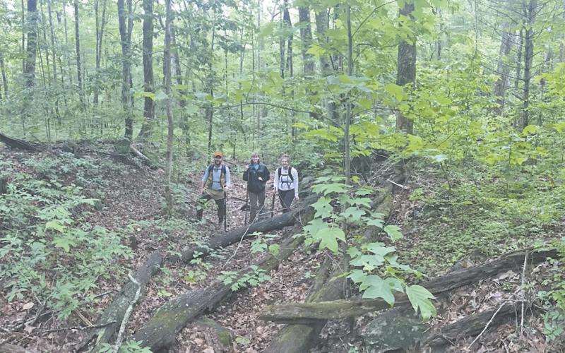 Pictured is the research team south of Unicoi Gap, standing on the 200-year-old road. Shown from left are Dr. Jacob McDonald, Brittany Mann and Katelynn Comer. (Photo courtesy Alan Hall)
 -
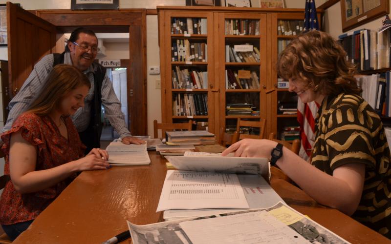 Bill Huff with the White County Historical Society assists Katelynn Comer and Brittany Mann with research. (Photo/Stephanie Hill)
Special to the News
The Sautee Nacoochee Community Association has announced a new research project to locate and map the Unicoi Trail in Northeast Georgia.
At the completion of the project, the maps will be shared with the public via SNCA’s award-winning smartphone app, The Heart & Heritage of the Northeast Georgia Mountains and with Google Earth Pro, which anyone can download and use.
In December 2020, Alan Hall, president of the SNCA Board of Directors, initiated a collaboration with the University of North Georgia to find, digitize and map what is left of the Unicoi Turnpike in Georgia. Beginning in early June and working into July, professor Dr. Jacob McDonald and two interns are using a variety of means to find, verify and map what is left of the old road.
The Unicoi Turnpike was the “first vehicular route to link East Tennessee, Western North Carolina and North Georgia with the head of navigation on the Savannah River System,” per waymaking.com.
“Much of the 200+-year-old Unicoi Turnpike has vanished under plows and bulldozers, but important sections remain,” Hall said. “We hope to engage citizens to help us find, verify and map the remaining traces of the old road, ultimately through all of Georgia.”
McDonald is an assistant professor at the University of North Georgia Lewis F. Rogers Institute for Environmental and Spatial Analysis in Dahlonega. He chose two of his students, Brittany Mann and Katelyn Comer, to do nine weeks of research on the project. The SNCA History Committee and the White County Historical Society are funding expenses for the interns and will provide research support.
The team began in Towns County at Unicoi Gap and are working their way southeast, doing ground-truthing “where data collected at a distance are confirmed by measurements made on location” (www.ncbi.nlm.nih.gov), interviews with local historians and property owners, and precisely mapping potential routes. Their findings will be used in conjunction with Lidar detection to compile maps of the trail.
For additional information, contact SNCA at 706-878-3300 or email info@snca.org.